Welcome!
My name is Nathaniel and it’s great to meet you.
I am a geographer from Lexington, Kentucky, where I use GIS to conduct spatial analysis and build interactive web maps and data visuals. I’m very curious about the intersection of data and space, which explains my passion for this type of work.
If I were to dig a little deeper, I could see how my background in archaeology led to an interest in maps and data. Today, I apply my skills in ESRI and open-source GIS tools to address pressing social issues and contribute to projects that help make better-informed decisions. I believe in the power of GIScience and interactive web mapping technology to reveal many layers of our world we may not see on the surface. I'm passionate about using these tools for development, justice, and projects that matter to me.
My work has always been inspired by a desire to understand and make sense of the world around me—from crafting detailed geodatabases to mapping natural environments and urban landscapes. I strive to connect people and communities to data that matters, and I see GIS as a bridge that links information with real-world solutions.
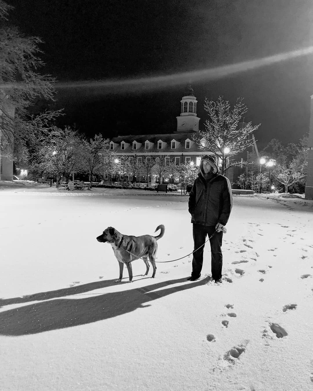
Outside of work, I find joy through exploring the natural world, whether it's hiking through mountains or photographing landscapes. I'm an avid bass guitarist and love spending time jamming or arranging music when I’m feeling inspired. You can check out some of my material at Location Service on bandcamp. I am someone who is curious about the world, and I’m glad I can share my maps, music, and more about my life here in this corner of the internet.